Camerton Parish
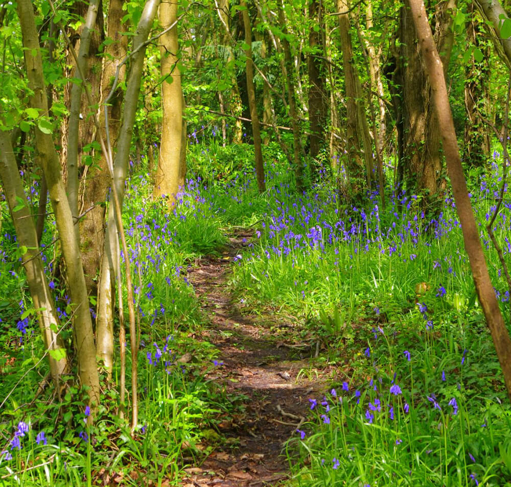
The Parish of Camerton in Somerset is home to about 600 people living in 258 dwellings spread over a large geographical area (2 miles by 2 miles). It lies in the heart of the Cam Valley with the Cam Brook running through.
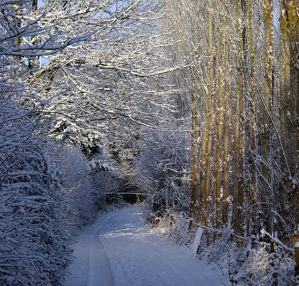
The community is poorly served by public transport making it very car dependent, having lost its Post Office, shop and both pubs in the last 20 years. With its geographical location in the east/west running Cam Valley, steep sided hills run to the north and south from the valley plain. The parish is surrounded primarily by arable farmland with a small amount of dairy farming intermixed as well as woodlands, hamlets and scattered habitation.
A significant percentage of the houses (about 50%) are in a central hub, with 3 outlying smaller hamlets at the edge of the parish. The roadway structure through the parish comprises chiefly of lanes with two arterial roads- one running north/south and the B3115 running east/west). There are no pavements in the majority of the parish. In the past Camerton has accommodated a canal and railway both used to transport coal.
Click here to view our Welcome Pack.
Key Features/Facilities
• Camerton Batch Local Nature Reserve, an award winning feature of the parish managed by local volunteers
• New Pit Batch
• Community Hall and associated playing field
• Ancient monuments – Iron Age Fort, Anglo Saxon Burial Ground and a Roman settlement.
• The church the oldest part of which dates back to the 15th century
• The Limestone Link Footpath runs east/west through the parish centre
• SNCI Cam Brook
• The Powder House
Home
Camerton Parish
The Parish of Camerton in Somerset is home to about 600 people living in 258 dwellings spread over a large geographical area (2 miles by 2 miles). It lies in the heart of the Cam Valley with the Cam Brook running through.
The community is poorly served by public transport making it very car dependent, having lost its Post Office, shop and both pubs in the last 20 years. With its geographical location in the east/west running Cam Valley, steep sided hills run to the north and south from the valley plain. The parish is surrounded primarily by arable farmland with a small amount of dairy farming intermixed as well as woodlands, hamlets and scattered habitation.
A significant percentage of the houses (about 50%) are in a central hub, with 3 outlying smaller hamlets at the edge of the parish. The roadway structure through the parish comprises chiefly of lanes with two arterial roads- one running north/south and the B3115 running east/west). There are no pavements in the majority of the parish. In the past Camerton has accommodated a canal and railway both used to transport coal.
Click here to view our Welcome Pack.
Key Features/Facilities
• Camerton Batch Local Nature Reserve, an award winning feature of the parish managed by local volunteers
• New Pit Batch
• Community Hall and associated playing field
• Ancient monuments – Iron Age Fort, Anglo Saxon Burial Ground and a Roman settlement.
• The church the oldest part of which dates back to the 15th century
• The Limestone Link Footpath runs east/west through the parish centre
• SNCI Cam Brook
• The Powder House